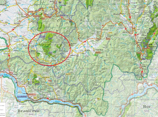
The Nerei Gorge are the most beautiful gorges from Banatului Mountains which are located in the Eastern Carpathians (or Romanian Carpathians), in the west part of Romania being part of Southern Romanian Carpathians; they are often associated with a subgroup of Western Romanian Carpathians. The region I refer is Aninei Mountains, which are located between the DN57 (Moldova Noua) national road and DN57B (Anina, Oravita), at about 30km of Moldova Noua and 25km of Oravita, in the Caras-Severin county.
You may also want to follow this:
Romania, Banatului Mountains Ochiul Beiului, Cascadele Beusnita
Way of access
By road: Timisoara -> Lugoj -> Resita -> Anina -> Oravita -> Sasca Romana;
By road: Drobeta Tr Severin -> Orsova -> Baile Herculane -> Mehadia -> Iablanita -> Bozovici -> Oravita -> Sasca Romana;
Cheile Nerei - Way of Access Map
This 1-day route starts from Sasca Romana, passes a wooden bridge and follows for 1 hour the track named "La Tunele" ("@Tunnels"); then arrives at "Podul Beiului" (bridge) and turns to the right following the Nera river.
Between the objectives:
- the tunnels from "La Tunele"; I counted a number of 7 tunnels, from which the longest one has about 50m;
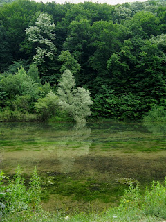
- Podul Beiului - the start point to Ochiul Beiului (lake), Cascadele Beusnita (waterfalls) and Cheile Nerei (gorges);
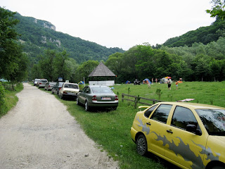
- Cantonul Damian with camping place;
- Izvorul Damian (springs);
- La Carlige;
- Grota Boilor (cave);
- Izbucul Iordanului (springs);
- Ogasul Porcului;
- La Scaune;
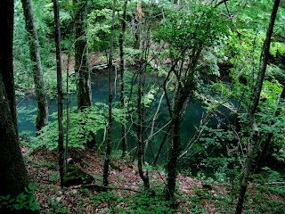
- Ochiul Dracului (lake);
- Poiana Logor;
- Cheile Susarei (gorges);
All the objectives are part of "Cheile Nerei-Beusnita" National Park.
Images:
Cheile Nerei Map
So, after we passed the 6th tunnels from Sasca Romana,
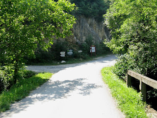
we arrived at Podul Beiului
Inscription at Podul Beiului
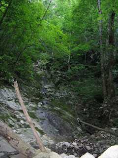
On the way
The Track
Damian Shelter
View to Begul Mare Peak from Damian Shelter
Markers to follow at Damian Shelter
Spring after Damian Shelter
Vegetation grown on stones
The Track
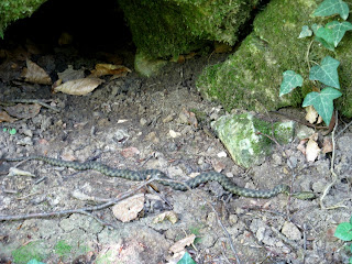
You should avoid these (vipers),
they are all the way
Cave nearest "La Carlige"
La Carlige
La Carlige
Marker after La Carlige
It says the river should be passed... which we haven't understood...
So we had to follow this unmarked wild track,
until we realized the message of the marker above
... but we haven't any regrets because we found this.
As the track became impossible,
we had to return to the marker and pass Nera
Track on the other side
Track passes tunnels again
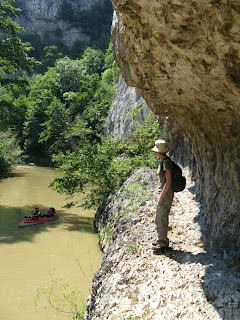
Cayaking on Nera
The Beautiful Track
Look behind to Nera
The Track,
beware of vipers - their home
Pestera Boilor (cave)
Wooden bridge over Nera
Pass this bridge with care,
it's a long way down
Shortcut to Sasca Romana
Izbucul Iordanului (springs)
Ogasul Porcului
Small water hole on Ogasul Porcului
Small cave on the track
La scaune - Track Intersection
Lacul Dracului (lake)
Poiana Logor
Cheile Susarei gorge start track
from Carbunari
Having a soup later with a cat from Sasca
after a full day (35km hiking - 16 hours)


