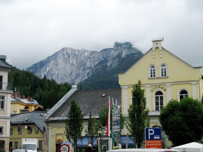
Hallstatt –
Dachstein/Salzkammergut region was included in the exclusive list of
UNESCO World Heritage sites in 1997. The committee justified its decision with the words: “
The Alpine region of Hallstatt - Dachstein / Salzkammergut is an exceptional example of a natural landscape of unique beauty and particular scientific significance which also bears testimony to the ongoing human, scientific and cultural activity. This cultural landscape combines nature and culture in a harmonious and mutually supportive manner”.
The karstic zone formed by the glaciers and the salt fields of this area created the so called Hallstattian period of the Ice Age.
This post refers to the
Krippenstein region (alt. 2108m, 5 Fingers, World Heritage spiral),
Gjaidalm and to the
Krippenstein - Obertraun ski slope (longest of Austria, black difficulty one = 11.5km, elevation 900 - 2000).
Dachstein-Krippenstein Winter Map
*
What to see at the 2nd Dachstein Cable Car Station (
Krippenstein Station, alt. 2000m):
- the karstic area around and the UNESCO glaciers-forming inscriptions;
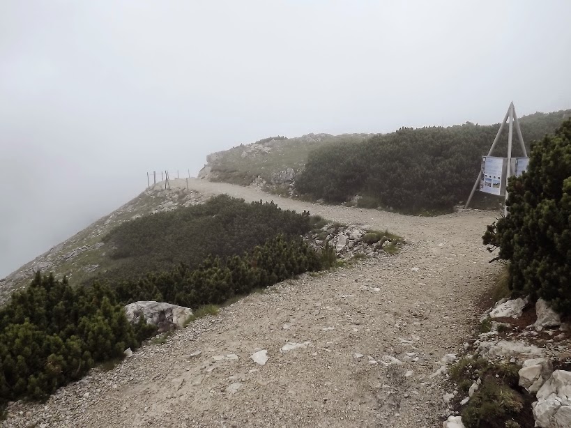
- the karstic trail track (about 20km, very easy, no difficulty) on which you may see the
Heilbronner Cross;
- the
5 Fingers;
- the
World Heritage Spiral;
- the
Mountain Church;
- the 3rd Cable Car station at
Gjaidalm (very easy to get to, no reason to follow the cable car);
- panoramic view of
Hoher Dachstein (alt. 3000m);
*
Next, images shot on July 2012:
Krippenstein Station
Panoramic View of Krippenstain Station
Trail track to 5 Fingers
Trail track to 5 Fingers
5 Fingers
5 Fingers
... taking a curious panoramic view
5 Fingers
The curious panoramic view
5 Fingers
Other panoramic view
5 Fingers
View to Hallstatt and Halsstattersee
5 Fingers
View to Obertraun and Bad Aussee
UNESCO Inscriptions
Sink hole (aka. doline)
Panoramic view of Dachstein
took from the 5 Fingers track
Karstic area
View to Hoher Dachstein
UNESCO inscriptions
Snow in July
Track to World Heritage Spiral
and Krippenstein Peak (alt. 2108m)
World Heritage Spiral
World Heritage Spiral
World Heritage Spiral
Krippenstein Peak (alt. 2108m)
View from
World Heritage Spiral
Karstic Area
Karstic Area
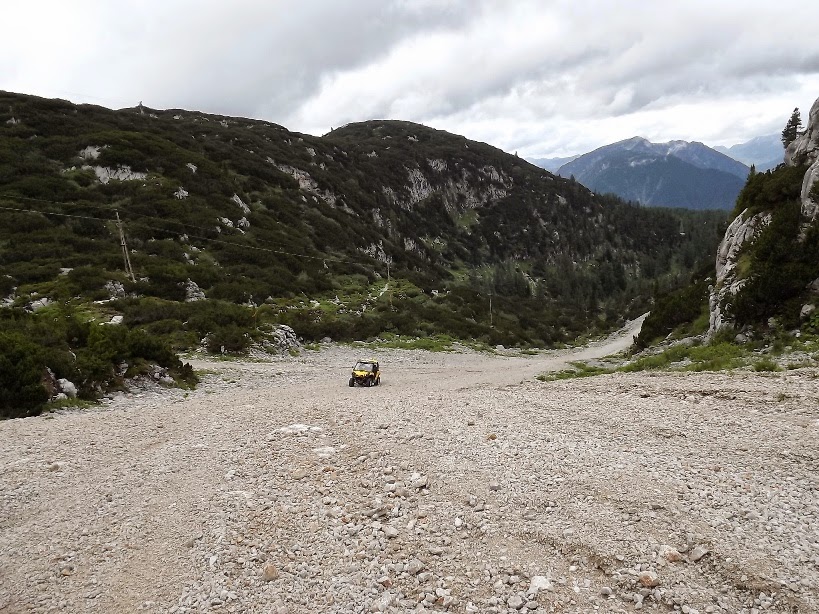
Beginning of Krippenstein - Obertraun ski slope
Karstic Area
Panoramic View
Hoher Dachstein (alt. 3000m)
(zoomed view from Krippenstein)
Hoher Dachstein Glacier Ski Area
(zoomed view from Krippenstein)
Taking a zoomed view of Gjaidalm area
Zoomed view of Gjaidalm area
Krippenstein - Obertraun ski slope
View to a nice peak around,
probably Sarstein Peak
Krippenbrunn
View of 5 Fingers from Krippenbrunn
Krippenbrunn - view to Obertraun
Krippenstein - Obertraun ski slope
(near Obertraun)
*