Cindrel (or Cibin) Mountains are located in the Eastern Carpathians, in the so called Southern Romanian Carpathians, in the center-west part of Romania, at about 30 km South-West of Sibiu (Hermannstadt) city. The heighest peak of the masiff is Cindrel (alt. 2244m).
Way of access
By plane: Sibiu has international airport
By road: Sibiu -> (DN106A) -> Rasinari -> (DN106A) -> Paltinis
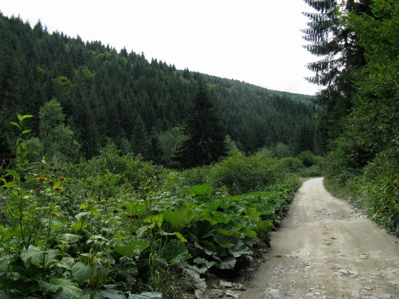
From Paltinis you may access the track below
Track Description
I will split the track description in 2 articles, one for each day.
For the previous day you may access the link: Cindrel Mountains - Day One
Shortly, the second track follows the next direction on the map, thus, returning to Paltinis:
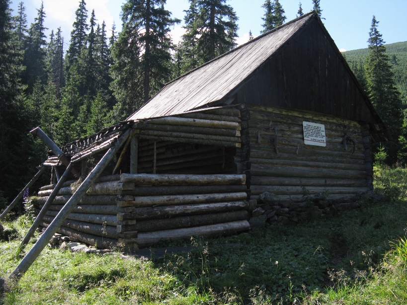
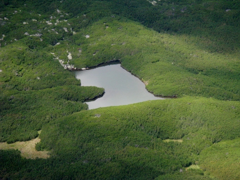
"Refugiul de sub Iezere" ("The shelter from under the lakes") -> Iezerul Mare (Big Lake) -> Iezerul Mic (Small Lake) -> Frumoasa Peak (alt. 2168m) -> Cindrel Peak (alt. 2244m) -> Cinaia Peak (alt. 2057m) -> Niculesti Peak (alt. 2034m) -> Batrana Peak (alt. 1911m) -> Poiana Muncel -> Paltinis.

Track Map - Day Two
So, after sleeping a night at "The shelter from under the lakes", we continued our mountain track in the lakes direction; the first of the lakes in the direction is Iezerul Mare ("The Big Lake"); to shorten the track, we left the blue triangle marker to the left (as it only climbs to Cindrel Saddle) and we followed the direct path to the lake; notice that this path is not marked, but it is very easy to arrive to the lake if you follow the river, watch to the lake glacial valley and maintain a S-S-E direction; after 45 mins (2-2.5kms) you find the beautiful green lake, located under mountain. We took a break here, as the sight is beautiful. Then, we passed the lake onto its north point and started climb to the west; the climbing is a little difficult, but not impossible; we got on the heights between the 2 lakes and after a last look to the Iezerul Mare lake, we followed the S-E direction on the so called "Devil's Plateau" to Iezerul Mic ("The Small Lake"); we arrived at this lake after about 1-2km from "The Big Lake"; we joined the track to the Frumoasa Peak (alt. 2168m), where a track intersection may be seen. Then, we returned, following the East direction and the red band marker on the Devil's Plateau to the Cindrel Peak (distance approx 2km); Cindrel Peak is the biggest Peak from these mountains, offering great sights around; we left for a while the red band marker, heading north to see "The Big Lake" from above; then we returned to the red band marker, heading to Cinaia Peak (alt. 2244m), via Cindrel Saddle (here is a track intersection - to the left it is seen the blue triangle marker track that we followed a day before; to the right is the Cinaia Shelter track); so, we took forward, passing the Cinaia Peak, then we passed the Niculesti Peak (alt. 2034m) beside its right; after Niculesti, the long Serbanei Saddle appears and we found the Cinaia Shelter indicator to the right; until here, we made another 7kms (from Cindrel Peak); we took forward, passing the Rozdesti Peak (alt. 1954) to the Batrana Peak (alt. 1911m); before the Batrana Peak we encountered 2 sheepfolds, but the track passes beside them to the right; we followed the red band marker that intersects with a forestry road and we passed beside Batrana Peak that remained to the left and started to descend via the forestry road to the forest; another 3kms passed till Batrana Saddle (from Serbanei Saddle); after about 3kms through the forest, where we lost about 300m altitude, we arrived at Poiana Muncel; here we found another intersection with other tracks (Gatul Berbecului chalet, Poiana Gaujoara, Poiana Oncesti, aso); heading forward and following mostly the North direction, after 3kms we descended on about 100m altitude to Paltinis, our destination; that was a total of approx 23-25 kms, made in about 8hrs.
Elevation Curve
From "Refugiul de sub iezere" ("The shelter from under the lakes") you easy climb 2-2.5km to "Iezerul Mare" ("The Big Lake"); you gain approx 300m altitude;
From "The Big Lake" you climb 1/3 - 1/2 km to the "Devil's Plateau" located between the 2 lakes; the climbing is a little difficult, but not impossible; you gain about 150m altitude; Then you continue about 4kms on the curve level until the Frumoasa Peak (nearest "The Small Lake");
From Frumoasa Peak to Cindrel Peak (alt. 2244m) you easy descend and then easy climb on about 1.5 km; you gain about 80 m altitude - this is the highest altitude you'll gain;
From Cindrel Peak you descend to Paltinis on about 15-16 kms; you will have easy climbs on Cinaia, Niculesti and Rozdesti Peaks.

Elevation Curve (Google Earth)
*
Images
Images

... we left "The shelter from under the lakes"

and followed the river course to The Big Lake

on the way to The Big Lake

A look back to the Cindrel river valley

the glacial valley of the lake becomes visible

and The Big Lake

we passed it beside its North point...

... where we saw another small lake

we started to climb to the Devil's Plateau
and we saw a little peninsula on the lake

The Big Lake - view from Westside
(view from Devil's Plateau)
(view from Devil's Plateau)

The Small Lake - view from Southside
The Small Lake zoomed

The Small Lake - view from Frumoasa Peak

Frumoasa Peak and track intersection
on the Devil's Plateau
on the Devil's Plateau

on the way to Cindrel Peak
via the Devil's Plateau
via the Devil's Plateau

A cross on Cindrel Peak

The official Cindrel Peak...

... and the real one (someone put his socks there)

A look to Steflesti from Cindrel Peak
(the Techno Festival that took place at Craciuneasa in 2010
moved in 2011 to Steflesti)

Cinaia, Niculesti, Rozdesti, Surdu and Batrana Peaks
(view from Cindrel Peak)

The Big Lake - view from Southside

on the way to Cindrel Saddle

view of the glacial valley of The Big Lake

Cindrel Saddle and track intersection

on the way to Cinaia Peak

Cinaia Peak

view to Niculesti Peak

Rozdesti Peak - view back to Niculesti and Cindrel Peaks

The 2 sheepfolds at Batrana Saddle

Poiana Muncel