Parang Mountains are located in the Eastern Carpathians, in the so called Southern Romanian Carpathians, in the center-south-west part of Romania, at about 15 km North-East of Targu-Jiu city and 5 km South-East of Petrosani. The mountains are delimited at the East by the famous Transalpina road (DN67C, the Novaci-Obarsia Lotrului section). The heighest peak of the masiff is Parangu Mare (alt. 2519m).
Way of access
By road:
-> Petrosani -> Jiet -> (DN7A) -> Jietului Gorges (DN7A, 10km) -> Mija Chalet (DN7A, 15km) -> Groapa Seaca Chalet (DN7A, 22km)
-> Ramnicu Valcea -> (DN7) -> Brezoi -> (DN7A) -> Voineasa -> (DN7A) -> Obarsia Lotrului (115km)
See also
Romania, Several Tracks in Parang Mountains - Cioara Peak
Romania, Several Tracks in Parang Mountains - Calcescu Lake
Romania, Several Tracks in Parang Mountains - Parangu Mare Peak
Track Description
Another easy track has as destination the Rosiile Lake (2000m), located under the Parangu Mare Peak (2519m). The track starts at an altitude of aprox 1200m from Groapa Seaca Chalet direction to the Rosiile Lake. The first half of the track consists of a forestry road of about 5km. Then, you will have to follow the red circle marker for another 3 km; on this section, the track follows a mountain path and starts to climb. The track is a very beautiful one, because of its diversity - you will walk in forest, you will pass river on wooden bridges, you will see the spectacular Agatat Shelter, you will pass through juniper trees with stony path, you will see sheepfolds and other lakes. The Rosiile Lake is the deepest glacial lake (aprox 16m) in Parang Mountains and above it at about 100m you will find the Mandra glacial lake. Near Rosiile Lake there is also the Lung Lake. You will have to return to the start point, so the total length of this track is about 16km, which can be walked in about 7 hours - 4 hours to climb to Rosiile Lake and 3 hours back to start point.

Track Map

*
Images:
Images:

Track indicator at Groapa Seaca Chalet

Red Circle marker at the track start point

Track intersection at about 500m from the starting point

Forestry Road

Forestry Road heading to mountains

View from a stone bridge on the track

Micro power plant on Jiet River
The track after Jiet power plant

Intersection with Gheresu Forestry Road

Wooden Bridge on Jiet River

Jiet River

Jiet River

Track in the forest

Track in the forest

Track in the forest

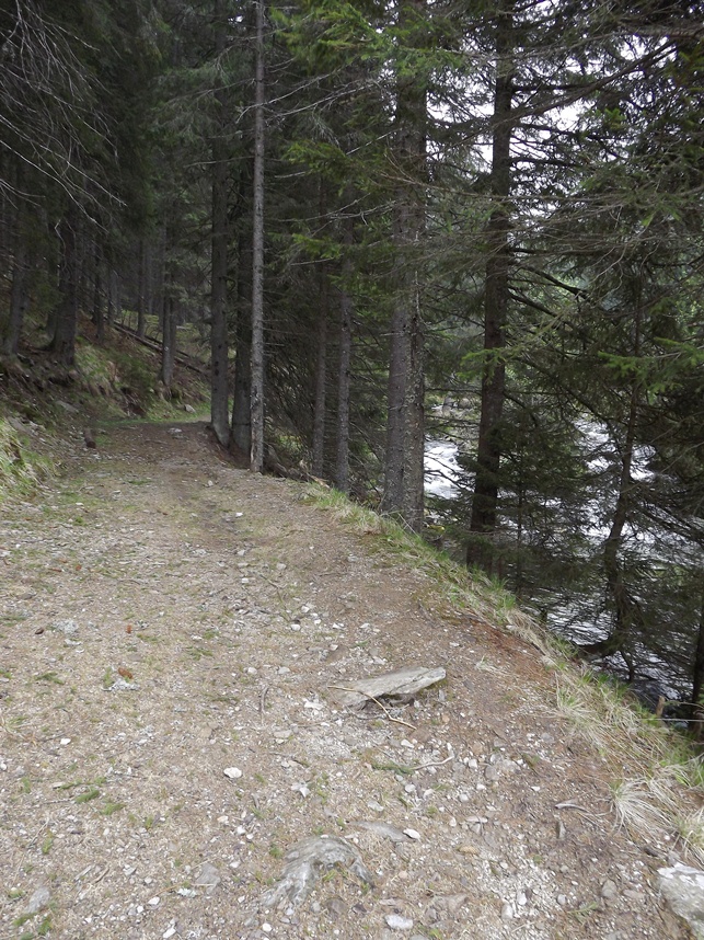
Jiet River in the forest

Wooden Bridge on Jiet River

View from wooden bridge

Refugiul Agatat (Hanged Shelter)

Inside Refugiul Agatat (Hanged Shelter)

After Refugiul Agatat (alt. 1800m)

After Refugiul Agatat (alt. 1850m)
*
No comments:
Post a Comment