Short Briefing
The
Dolomites hiking trails are clear and very well maintained, being marked at each 100m with red-white bands. At the starting points and at the intersections, beside the red-white bands, the paths are numbered and wooden path indicators are present. Practically, it is impossible to loose the path if you have a trail map, which may be obtained for free at any info centre in
Dolomites. The maps can also be found at souvenir shops for aprox 2 eur, or you can bring your own listed maps from the net :)
For about 5 eur, you can buy the
Dolomiti Passport (a green or blue scrapbook) that you may stamp at any "
rifugio" on the mountain.
Also, see this blog topics:
- Italia - Cortina d'Ampezzo;
- Italia - Dolomiti, Cortina - Falzarego - Lagazuoi, 1-day Track (part one);
- Italia - Dolomiti, Lagazuoi - Giussani - Dibona, 1-day Track (part two);
Track Map
 Elevation Curve
Track Description
The track difficulty is easy to medium, taking into account that it starts from
Faloria Cablecar Station. The length is of about 17km that may be walked in 10 hours, so the recommendation is to be followed in summer (july, august, september). We took this cablecar from
Cortina (alt. 1230m) to
Faloria (alt. 2100m) and we paid 13 euro per person only for one way up. The cablecar has an intermediate station at
Mandres (alt. 1500m). When arrived to Faloria, do not forget to make beautiful panoramic photos with Cortina and around.
The
223 path climbs from Faloria to
Rifugio Tondi (alt. 2343m), where you may drink a tea or coffee whilst you shot great views all around the mountain. Just accross the valley, the
Cristallo mountain area is opening its great view - one of the most beautiful of Dolomites. The
223 path passes a beautiful rocky landscape until the
Forcella Faloria (alt. 2300m) where it intersects the
215 path.
Then, following the same
223, the way easy climbs and lowers besides the
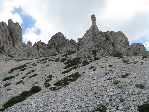
Ciadin del Loudo rocks on the right, until it reaches the base of
Forcella Marcuoira (alt. 2300m); we have climbed to Forcella Marcuoira, as it is right next to the main track. After the intersection of
223 and
216, the track starts to climb via chains to pass the mountain to
Sorapis Lake. The path lowers until you reach Sorapis lake; the lake is renowned for its beautiful blue-green lighten water color; immediately near Sorapis there is the
Rifugio Vandelli, where we stamped the Dolomiti Pass. From Vandelli, you follow the
215 path, which climbs 1km and then lowers via forest to
Passo Tre Croci (alt. 1800m). From Tre Croci you follow the road to
Rio Gere, which is easy to find, as there are several ski cable installations; also, from Rio Gere, you may climb to Cristallo, but this was not our track. We walk the road until the intersection with
206 path that we followed by turning left. The
206 track is levelled and goes to
Mandres, where you'll find beautiful views to the left - Faloria rocky landcape and peak and to the right you may shot panoramas with Cortina. From Mandres to Cortina there are several tracks and forestry roads
(210,
220 paths, aso); we followed
220 back to Cortina.
*
Next, images I shot on this track:
Cortina seen from Faloria cable car
Faloria seen from cable car
The Cortina valley seen from Rifugio Faloria
Various wooden indicators at Faloria
Climbing to Rifugio Tondi
View from Tondi to Faloria and Cortina valley
(ski slopes in summer)
Rifugio Tondi
View from Rifugio Tondi
View from Rifugio Tondi
View from Rifugio Tondi
(the 223 path)
Small chalet near Rifugio Tondi
View from Rifugio Tondi
Forcella Faloria and 223 path
View from 223 path, near Forcella Faloria
View to Cristallo from 223 path
Back-view to Tondi from 223 path
View from 223 path to Ciadin del Loudo Peak
View from 223 path to Tre Croci valley
Back-view from 223 path
Mountain pass between Forcella Marcuoira and Ciadin del Loudo Peak
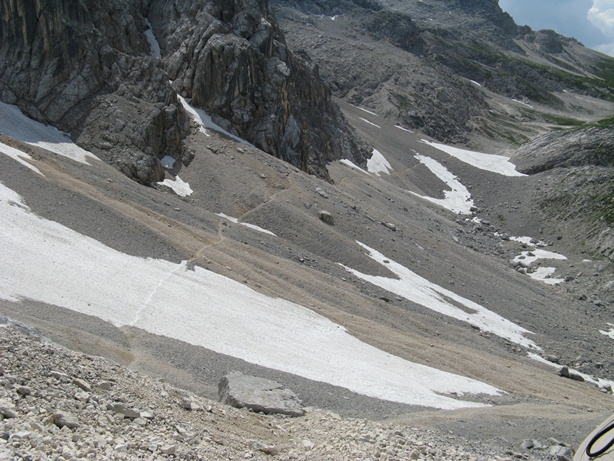
View from Forcella Marcuoira to Val Bona valley
Climbing to Forcella Marcuoira
Forcella Marcuoira
The chained part of 223 / 216 that passes besides the Ciadin del Loudo Peak
View from 223 / 216 to Col Tondo
The chained part of 223 / 216 that passes besides the Ciadin del Loudo Peak
Finally, we saw the Lake Sorapis...
... and of course, the Rifugio Vandelli
Lake Sorapis
Beautiful color of Lake Sorapis
Beautiful color of Lake Sorapis
Beautiful color of Lake Sorapis
Rifugio Vandelli
Waterfall on Col Tondo, view from 215 path
View from 215 path to Val Bona
215 path from Vandelli to Tre Croci
Back-view to Marcuoira and Ciadin del Loudo area
Waterfall lowers from Zimes de Marcuoira
View from 215 path to Corno ad Angolo Peak
Beautiful view of Dolomites from 215 path
Back-view to Zimes de Marcuoira
... and finally The Tre Croci with view to Cristallo
Rio Gere Restaurant with view to Cristallo
Wooden bridges passing river on 206 path
View from 206 to rocky landscape of Faloria
206 path passing forest
View to Cortina valley from 206 path
206 path passing rock landscpae to Mandres
*